
Reti Bandar topographic map
Interactive map
Click on the map to display elevation.
About this map
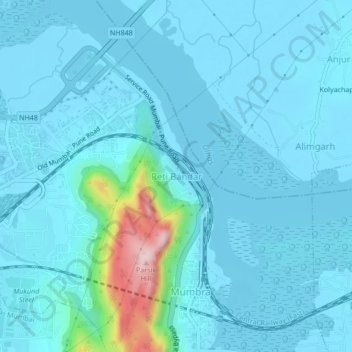
Name: Reti Bandar topographic map, elevation, terrain.
Location: Reti Bandar, Thane, Maharashtra, 400605, India (19.18165 72.99983 19.22165 73.03983)
Average elevation: 29 m
Minimum elevation: -2 m
Maximum elevation: 298 m