
Roßleben topographic map
Interactive map
Click on the map to display elevation.
About this map
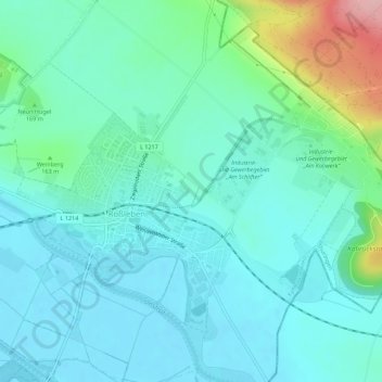
Name: Roßleben topographic map, elevation, terrain.
Location: Roßleben, Kyffhäuserkreis, Thüringen, 06571, Deutschland (51.28751 11.41419 51.31117 11.46944)
Average elevation: 145 m
Minimum elevation: 113 m
Maximum elevation: 273 m