
Melton Ross topographic map
Interactive map
Click on the map to display elevation.
About this map
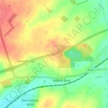
Name: Melton Ross topographic map, elevation, terrain.
Average elevation: 45 m
Minimum elevation: 14 m
Maximum elevation: 78 m
Other topographic maps
Click on a map to view its topography, its elevation and its terrain.
Melton Ross
United Kingdom > England > Melton Ross
Melton Ross, North Lincolnshire, Yorkshire and the Humber, England, DN38 6DF, United Kingdom
Average elevation: 43 m