
Thank you for supporting this site ❤️
Make a donation
Make a donation
Kubu island topographic map
Click on the map to display elevation.
Thank you for supporting this site ❤️
Make a donation
Make a donation
About this map
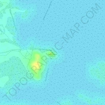
Name: Kubu island topographic map, elevation, terrain.
Location: Kubu island, Central District, Botswana (-20.88961 25.82954 -20.88951 25.82964)
Average elevation: 903 m
Minimum elevation: 900 m
Maximum elevation: 925 m
Thank you for supporting this site ❤️
Make a donation
Make a donation
Other topographic maps
Click on a map to view its topography, its elevation and its terrain.