
Eastern Equatoria topographic map
Interactive map
Click on the map to display elevation.
About this map
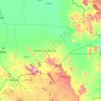
Name: Eastern Equatoria topographic map, elevation, terrain.
Location: Eastern Equatoria, South Sudan (3.50479 31.70711 6.00728 35.94900)
Average elevation: 730 m
Minimum elevation: 378 m
Maximum elevation: 3,085 m