
土城子乡 topographic map
Interactive map
Click on the map to display elevation.
About this map
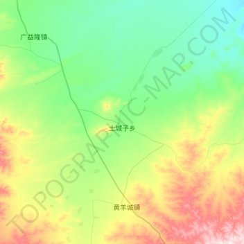
Name: 土城子乡 topographic map, elevation, terrain.
Location: 土城子乡, 察哈尔右翼中旗, 乌兰察布市, 内蒙古自治区, 中国 (41.39998 112.33705 41.60385 112.56647)
Average elevation: 1,619 m
Minimum elevation: 1,476 m
Maximum elevation: 1,942 m
Other topographic maps
Click on a map to view its topography, its elevation and its terrain.