
Kasteel van Beersel topographic map
Interactive map
Click on the map to display elevation.
About this map
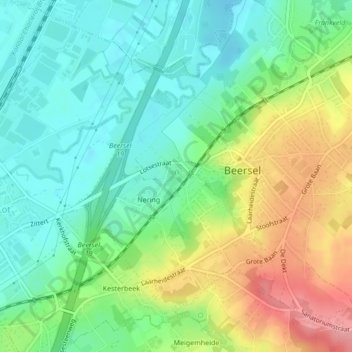
Name: Kasteel van Beersel topographic map, elevation, terrain.
Average elevation: 55 m
Minimum elevation: 16 m
Maximum elevation: 124 m
Other topographic maps
Click on a map to view its topography, its elevation and its terrain.
Provinciedomein Huizingen
België > Vlaanderen > Beersel
Provinciedomein Huizingen, Huizingen, Beersel, Halle-Vilvoorde, Vlaams-Brabant, Vlaanderen, 1654, België
Average elevation: 60 m