
Thank you for supporting this site ❤️
Make a donation
Make a donation
Obourg topographic map
Click on the map to display elevation.
Thank you for supporting this site ❤️
Make a donation
Make a donation
About this map
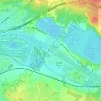
Name: Obourg topographic map, elevation, terrain.
Location: Obourg, Mons, Hainaut, Wallonie, Belgique (50.47892 3.98120 50.47948 3.98254)
Average elevation: 44 m
Minimum elevation: 28 m
Maximum elevation: 80 m
Thank you for supporting this site ❤️
Make a donation
Make a donation