
Shelby County topographic map
Interactive map
Click on the map to display elevation.
About this map
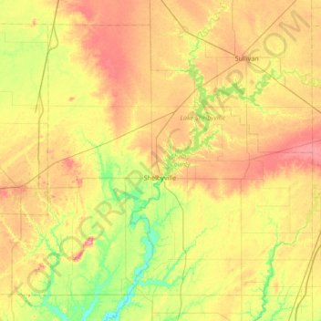
Name: Shelby County topographic map, elevation, terrain.
Location: Shelby County, Illinois, United States (39.21492 -89.13992 39.65429 -88.47035)
Average elevation: 196 m
Minimum elevation: 154 m
Maximum elevation: 247 m