
Hällefors topographic map
Interactive map
Click on the map to display elevation.
About this map
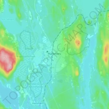
Name: Hällefors topographic map, elevation, terrain.
Location: Hällefors, Örebro County, Region Svealand, 71234, Sweden (59.74295 14.48249 59.82295 14.56249)
Average elevation: 205 m
Minimum elevation: 178 m
Maximum elevation: 358 m