
La Lamela topographic map
Interactive map
Click on the map to display elevation.
About this map
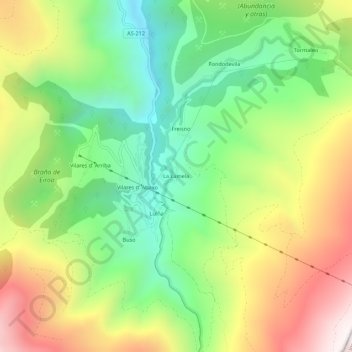
Name: La Lamela topographic map, elevation, terrain.
Location: La Lamela, Asturias, España (42.90497 -6.78205 42.94497 -6.74205)
Average elevation: 1,028 m
Minimum elevation: 555 m
Maximum elevation: 1,683 m