
Thank you for supporting this site ❤️
Make a donation
Make a donation
Bocholt topographic map
Click on the map to display elevation.
Thank you for supporting this site ❤️
Make a donation
Make a donation
About this map
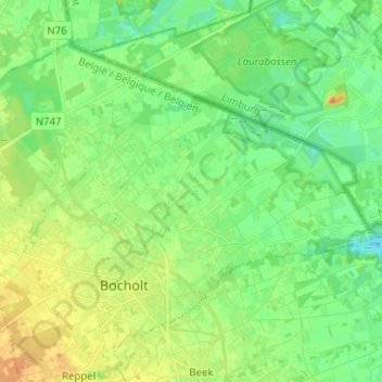
Name: Bocholt topographic map, elevation, terrain.
Location: Bocholt, Maaseik, Limburg, Flanders, 3950, Belgium (51.16201 5.53360 51.22290 5.65946)
Average elevation: 40 m
Minimum elevation: 28 m
Maximum elevation: 60 m
Thank you for supporting this site ❤️
Make a donation
Make a donation
Other topographic maps
Click on a map to view its topography, its elevation and its terrain.