
Thank you for supporting this site ❤️
Make a donation
Make a donation
Ain Torki topographic map
Click on the map to display elevation.
Thank you for supporting this site ❤️
Make a donation
Make a donation
About this map
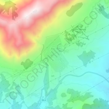
Name: Ain Torki topographic map, elevation, terrain.
Location: Ain Torki, Aïn Torki, Hammam Righa District, Aïn Defla, Algeria (36.31272 2.28253 36.35272 2.32253)
Average elevation: 832 m
Minimum elevation: 470 m
Maximum elevation: 1,522 m
Thank you for supporting this site ❤️
Make a donation
Make a donation