
Thank you for supporting this site ❤️
Make a donation
Make a donation
Rio Verde topographic map
Click on the map to display elevation.
Thank you for supporting this site ❤️
Make a donation
Make a donation
About this map
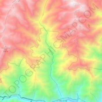
Name: Rio Verde topographic map, elevation, terrain.
Location: Rio Verde, Río Verde, Baños, Tungurahua, 180253, Ecuador (-1.40475 -78.32636 -1.28660 -78.29482)
Average elevation: 2,765 m
Minimum elevation: 1,359 m
Maximum elevation: 3,952 m
Thank you for supporting this site ❤️
Make a donation
Make a donation
Other topographic maps
Click on a map to view its topography, its elevation and its terrain.