
宁洱镇 topographic map
Interactive map
Click on the map to display elevation.
About this map
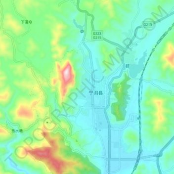
Name: 宁洱镇 topographic map, elevation, terrain.
Location: 宁洱镇, 宁洱哈尼族彝族自治县, 普洱市, 云南省, 665000, 中国 (23.02546 100.99723 23.10546 101.07723)
Average elevation: 1,427 m
Minimum elevation: 1,306 m
Maximum elevation: 1,812 m