
Thank you for supporting this site ❤️
Make a donation
Make a donation
Nivelle topographic map
Click on the map to display elevation.
Thank you for supporting this site ❤️
Make a donation
Make a donation
About this map
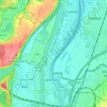
Name: Nivelle topographic map, elevation, terrain.
Location: Nivelle, Lixhe, Visé, Liège, Wallonie, 4600, Belgique (50.74489 5.66317 50.78489 5.70317)
Average elevation: 68 m
Minimum elevation: 44 m
Maximum elevation: 148 m
Thank you for supporting this site ❤️
Make a donation
Make a donation