
Thank you for supporting this site ❤️
Make a donation
Make a donation
Calvert topographic map
Click on the map to display elevation.
Thank you for supporting this site ❤️
Make a donation
Make a donation
About this map
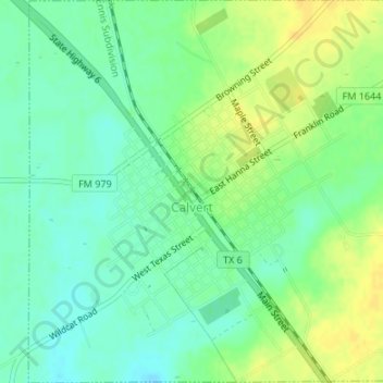
Name: Calvert topographic map, elevation, terrain.
Location: Calvert, Robertson County, Texas, 77837, United States (30.96473 -96.68818 30.99350 -96.65491)
Average elevation: 103 m
Minimum elevation: 92 m
Maximum elevation: 116 m
Thank you for supporting this site ❤️
Make a donation
Make a donation
Other topographic maps
Click on a map to view its topography, its elevation and its terrain.