
菜子湖 topographic map
Interactive map
Click on the map to display elevation.
About this map
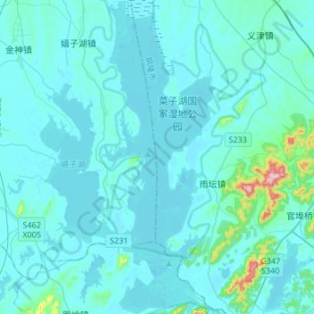
Name: 菜子湖 topographic map, elevation, terrain.
Location: 菜子湖, 雨坛镇, 枞阳县, 铜陵市, 安徽省, 中国 (30.71582 117.05096 30.94481 117.15065)
Average elevation: 26 m
Minimum elevation: 4 m
Maximum elevation: 346 m