
Lesa topographic map
Interactive map
Click on the map to display elevation.
About this map
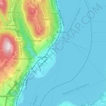
Name: Lesa topographic map, elevation, terrain.
Location: Lesa, Novara, Piemonte, Itália (45.79814 8.53645 45.85631 8.59380)
Average elevation: 304 m
Minimum elevation: 189 m
Maximum elevation: 791 m