
老屋基 topographic map
Interactive map
Click on the map to display elevation.
About this map
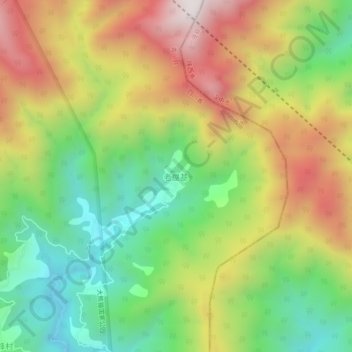
Name: 老屋基 topographic map, elevation, terrain.
Location: 老屋基, Qingchuan, Guangyuan, Sichuan, China (32.74499 105.52876 32.78499 105.56876)
Average elevation: 1,102 m
Minimum elevation: 673 m
Maximum elevation: 1,641 m