
Blievenstorf topographic map
Interactive map
Click on the map to display elevation.
About this map
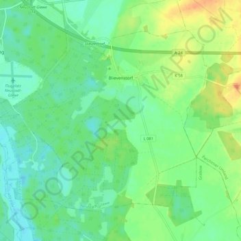
Name: Blievenstorf topographic map, elevation, terrain.
Average elevation: 42 m
Minimum elevation: 28 m
Maximum elevation: 67 m
Die Bundesstraße 191 ist etwa drei Kilometer von Blievenstorf entfernt. Die Bundesautobahn 24 führt direkt am Ort vorbei, besitzt in Höhe Blievenstorf einen Parkplatz und wird über die Anschlussstelle Neustadt-Glewe in vier Kilometern erreicht. Über eine Busverbindung ist Blievenstorf an Neustadt-Glewe angebunden.