
下渠镇 topographic map
Interactive map
Click on the map to display elevation.
About this map
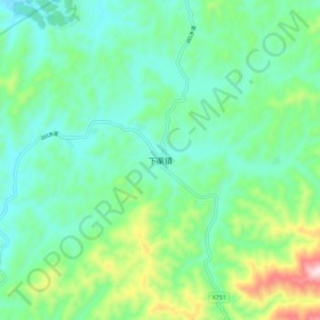
Name: 下渠镇 topographic map, elevation, terrain.
Location: 下渠镇, 泰宁县, 三明市, 福建省, 中国 (26.78399 117.11853 26.86399 117.19853)
Average elevation: 410 m
Minimum elevation: 277 m
Maximum elevation: 805 m