
Thank you for supporting this site ❤️
Make a donation
Make a donation
Mehatpur topographic map
Click on the map to display elevation.
Thank you for supporting this site ❤️
Make a donation
Make a donation
About this map
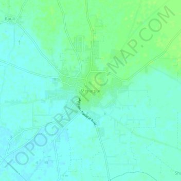
Name: Mehatpur topographic map, elevation, terrain.
Location: Mehatpur, Nakodar Tahsil, Jalandhar, Punjab, 144041, India (31.03031 75.45595 31.07031 75.49595)
Average elevation: 229 m
Minimum elevation: 224 m
Maximum elevation: 235 m
Thank you for supporting this site ❤️
Make a donation
Make a donation