
Lineas de Nasca topographic map
Interactive map
Click on the map to display elevation.
About this map
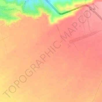
Name: Lineas de Nasca topographic map, elevation, terrain.
Location: Lineas de Nasca, El Ingenio, Nasca, Ica, Perú (-14.70860 -75.14125 -14.68860 -75.12125)
Average elevation: 456 m
Minimum elevation: 368 m
Maximum elevation: 482 m
Other topographic maps
Click on a map to view its topography, its elevation and its terrain.
Condor
Perú > Ica > El Ingenio > entrada al ingenio
Condor, entrada al ingenio, El Ingenio, Provincia de Nasca, Ica, Perú
Average elevation: 458 m