
Río Lozoya topographic map
Interactive map
Click on the map to display elevation.
About this map
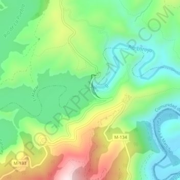
Name: Río Lozoya topographic map, elevation, terrain.
Location: Río Lozoya, Patones, Sierra Norte, Comunidad de Madrid, España (40.91181 -3.47349 40.91210 -3.47289)
Average elevation: 900 m
Minimum elevation: 725 m
Maximum elevation: 1,229 m