
略阳县 topographic map
Interactive map
Click on the map to display elevation.
About this map
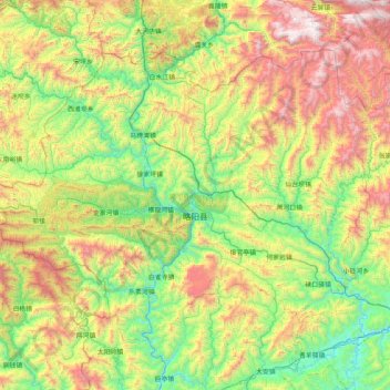
Name: 略阳县 topographic map, elevation, terrain.
Location: 略阳县, 汉中市, 陕西省, 中国 (33.10930 105.69813 33.62308 106.51684)
Average elevation: 1,220 m
Minimum elevation: 569 m
Maximum elevation: 2,478 m
Other topographic maps
Click on a map to view its topography, its elevation and its terrain.