
Crique Couleuvre topographic map
Interactive map
Click on the map to display elevation.
About this map
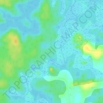
Name: Crique Couleuvre topographic map, elevation, terrain.
Average elevation: 9 m
Minimum elevation: 1 m
Maximum elevation: 27 m
Other topographic maps
Click on a map to view its topography, its elevation and its terrain.
Pointe Liberté
Pointe Liberté, Macouria, Arrondissement de Cayenne, Guyane, 97355, France
Average elevation: 4 m