
Dankerode topographic map
Interactive map
Click on the map to display elevation.
About this map
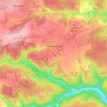
Name: Dankerode topographic map, elevation, terrain.
Location: Dankerode, Harzgerode, Landkreis Harz, Saxe-Anhalt, Allemagne (51.56605 11.09837 51.60934 11.16634)
Average elevation: 396 m
Minimum elevation: 295 m
Maximum elevation: 451 m