
Parque Natural Cabo de Gata-Níjar topographic map
Interactive map
Click on the map to display elevation.
About this map
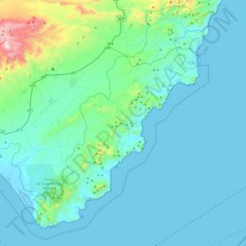
Name: Parque Natural Cabo de Gata-Níjar topographic map, elevation, terrain.
Average elevation: 137 m
Minimum elevation: -4 m
Maximum elevation: 1,204 m