
City of Raleigh topographic map
Interactive map
Click on the map to display elevation.
About this map
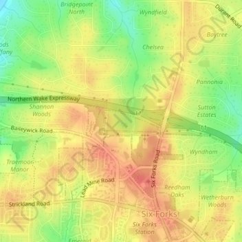
Name: City of Raleigh topographic map, elevation, terrain.
Location: City of Raleigh, Wake County, North Carolina, United States (35.91009 -78.65993 35.91256 -78.65217)
Average elevation: 136 m
Minimum elevation: 103 m
Maximum elevation: 157 m