
Thank you for supporting this site ❤️
Make a donation
Make a donation
Togo topographic map
Click on the map to display elevation.
Thank you for supporting this site ❤️
Make a donation
Make a donation
About this map
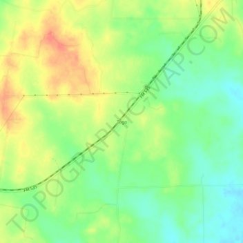
Name: Togo topographic map, elevation, terrain.
Location: Togo, Bastrop County, Texas, United States (29.93050 -97.23916 29.97050 -97.19916)
Average elevation: 143 m
Minimum elevation: 121 m
Maximum elevation: 167 m
Thank you for supporting this site ❤️
Make a donation
Make a donation
Other topographic maps
Click on a map to view its topography, its elevation and its terrain.