
Thank you for supporting this site ❤️
Make a donation
Make a donation
Gahanga topographic map
Click on the map to display elevation.
Thank you for supporting this site ❤️
Make a donation
Make a donation
About this map
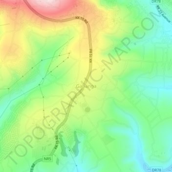
Name: Gahanga topographic map, elevation, terrain.
Location: Gahanga, City of Kigali, Rwanda (-2.04400 30.08683 -2.00400 30.12683)
Average elevation: 1,478 m
Minimum elevation: 1,339 m
Maximum elevation: 1,696 m
Thank you for supporting this site ❤️
Make a donation
Make a donation