
Kirigueti topographic map
Interactive map
Click on the map to display elevation.
About this map
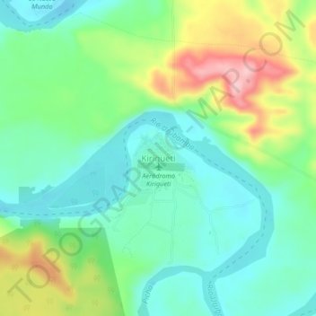
Name: Kirigueti topographic map, elevation, terrain.
Location: Kirigueti, Megantoni, La Convención, Cusco, Perú (-11.59329 -73.14891 -11.55329 -73.10891)
Average elevation: 363 m
Minimum elevation: 307 m
Maximum elevation: 483 m
Other topographic maps
Click on a map to view its topography, its elevation and its terrain.