
Alter Koog topographic map
Interactive map
Click on the map to display elevation.
About this map
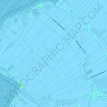
Name: Alter Koog topographic map, elevation, terrain.
Average elevation: -1 m
Minimum elevation: -4 m
Maximum elevation: 5 m
Other topographic maps
Click on a map to view its topography, its elevation and its terrain.
Oben
Deutschland > Schleswig-Holstein > Nordfriesland > Nordstrand
Oben, Nordstrand, Nordsee-Treene, Nordfriesland, Schleswig-Holstein, 25845, Deutschland
Average elevation: -1 m
Herrendeich
Deutschland > Schleswig-Holstein > Nordfriesland > Nordstrand > Herrendeich
Herrendeich, Nordstrand, Nordsee-Treene, Nordfriesland, Schleswig-Holstein, 25845, Deutschland
Average elevation: -1 m
Nordstrandischmoor
Deutschland > Schleswig-Holstein > Nordfriesland > Nordstrand
Nordstrandischmoor, Nordstrand, Nordsee-Treene, Nordfriesland, Schleswig-Holstein, Deutschland
Average elevation: 0 m