
Las Muras topographic map
Interactive map
Click on the map to display elevation.
About this map
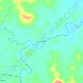
Name: Las Muras topographic map, elevation, terrain.
Location: Las Muras, San Jacinto, Colimes, Guayas, Ecuador (-1.61908 -80.23367 -1.57908 -80.19367)
Average elevation: 62 m
Minimum elevation: 38 m
Maximum elevation: 141 m
Other topographic maps
Click on a map to view its topography, its elevation and its terrain.
Boqueron
Ecuador > Guayas > Colimes > San Jacinto
Boqueron, San Jacinto, Colimes, Guayas, 091908, Ecuador
Average elevation: 14 m