
年嘉湖 topographic map
Interactive map
Click on the map to display elevation.
About this map
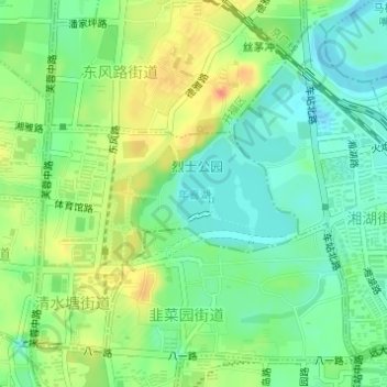
Name: 年嘉湖 topographic map, elevation, terrain.
Location: 年嘉湖, 清水塘街道, 开福区, 长沙市, 湖南省, 中国 (28.20832 112.99136 28.21617 113.00087)
Average elevation: 45 m
Minimum elevation: 26 m
Maximum elevation: 71 m