
Yeavering Bell topographic map
Interactive map
Click on the map to display elevation.
About this map
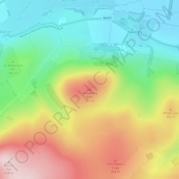
Name: Yeavering Bell topographic map, elevation, terrain.
Average elevation: 202 m
Minimum elevation: 40 m
Maximum elevation: 433 m
Other topographic maps
Click on a map to view its topography, its elevation and its terrain.
Hethpool
United Kingdom > England > Northumberland > Kirknewton
Hethpool, Kirknewton, Northumberland, North of Tyne, England, NE71 6TW, United Kingdom
Average elevation: 235 m