
Thank you for supporting this site ❤️
Make a donation
Make a donation
Elrod topographic map
Click on the map to display elevation.
Thank you for supporting this site ❤️
Make a donation
Make a donation
About this map
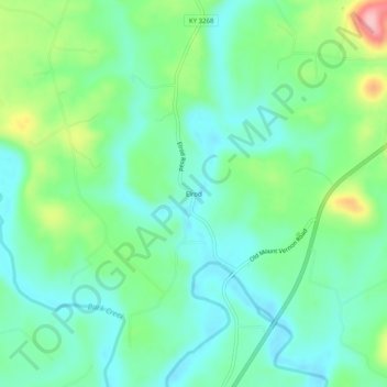
Name: Elrod topographic map, elevation, terrain.
Location: Elrod, Pulaski County, Kentucky, United States (37.19925 -84.48938 37.23925 -84.44938)
Average elevation: 298 m
Minimum elevation: 254 m
Maximum elevation: 410 m
Thank you for supporting this site ❤️
Make a donation
Make a donation