
渠 topographic map
Interactive map
Click on the map to display elevation.
About this map
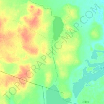
Name: 渠 topographic map, elevation, terrain.
Location: 渠, 洮南市, 白城市, 吉林省, 中国 (45.25655 122.21335 45.35920 122.25283)
Average elevation: 176 m
Minimum elevation: 160 m
Maximum elevation: 199 m
Other topographic maps
Click on a map to view its topography, its elevation and its terrain.