
Bouton topographic map
Interactive map
Click on the map to display elevation.
About this map
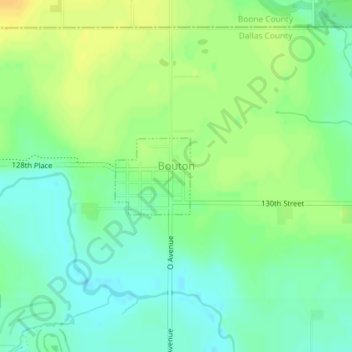
Name: Bouton topographic map, elevation, terrain.
Location: Bouton, Dallas County, Iowa, United States (41.84879 -94.01455 41.85467 -94.00678)
Average elevation: 286 m
Minimum elevation: 274 m
Maximum elevation: 300 m
Other topographic maps
Click on a map to view its topography, its elevation and its terrain.
Redfield
United States > Iowa > Dallas County
Redfield, Dallas County, Iowa, United States
Average elevation: 298 m
Adel
United States > Iowa > Dallas County
Adel, Dallas County, Iowa, United States
Average elevation: 292 m