
Rathenow topographic map
Interactive map
Click on the map to display elevation.
About this map
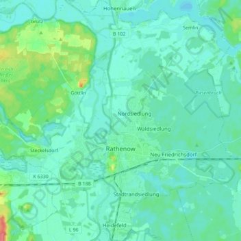
Name: Rathenow topographic map, elevation, terrain.
Location: Rathenow, Havelland, Brandenburg, Germany (52.56632 12.28418 52.67061 12.43091)
Average elevation: 31 m
Minimum elevation: 22 m
Maximum elevation: 76 m
Other topographic maps
Click on a map to view its topography, its elevation and its terrain.
Böhne
Germany > Brandenburg > Rathenow
Böhne, Rathenow, Havelland, Brandenburg, Germany
Average elevation: 30 m