
Leiderdorp topographic map
Interactive map
Click on the map to display elevation.
About this map
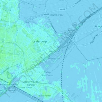
Name: Leiderdorp topographic map, elevation, terrain.
Location: Leiderdorp, Zuid-Holland, Nederland (52.13190 4.51469 52.18212 4.57148)
Average elevation: 0 m
Minimum elevation: -4 m
Maximum elevation: 5 m
Other topographic maps
Click on a map to view its topography, its elevation and its terrain.
Polder Achthoven
Nederland > Zuid-Holland > Leiderdorp
Polder Achthoven, 't Heerlijk Recht, Leiderdorp, Zuid-Holland, Nederland
Average elevation: 1 m