
Glückstadt topographic map
Interactive map
Click on the map to display elevation.
About this map
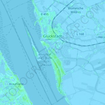
Name: Glückstadt topographic map, elevation, terrain.
Location: Glückstadt, Kreis Steinburg, Schleswig-Holstein, 25348, Germany (53.74066 9.37081 53.81250 9.45336)
Average elevation: 0 m
Minimum elevation: -5 m
Maximum elevation: 6 m
Other topographic maps
Click on a map to view its topography, its elevation and its terrain.
Neuendorf-Sachsenbande
Germany > Schleswig-Holstein > Kreis Steinburg
Neuendorf-Sachsenbande, Amt Wilstermarsch, Kreis Steinburg, Schleswig-Holstein, Germany
Average elevation: -2 m
Lägerdorf
Germany > Schleswig-Holstein > Kreis Steinburg
Lägerdorf, Breitenburg, Kreis Steinburg, Schleswig-Holstein, 25566, Germany
Average elevation: -1 m