
Thank you for supporting this site ❤️
Make a donation
Make a donation
Monte Terminilletto topographic map
Click on the map to display elevation.
Thank you for supporting this site ❤️
Make a donation
Make a donation
About this map
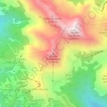
Name: Monte Terminilletto topographic map, elevation, terrain.
Location: Monte Terminilletto, Micigliano, Rieti, Lazio, Italy (42.46731 12.99010 42.46741 12.99020)
Average elevation: 1,767 m
Minimum elevation: 1,360 m
Maximum elevation: 2,201 m
Thank you for supporting this site ❤️
Make a donation
Make a donation