
Thank you for supporting this site ❤️
Make a donation
Make a donation
Vinje topographic map
Click on the map to display elevation.
Thank you for supporting this site ❤️
Make a donation
Make a donation
About this map
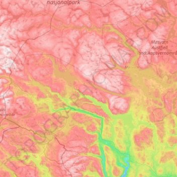
Name: Vinje topographic map, elevation, terrain.
Location: Vinje, Telemark, Norway (59.48725 7.09629 60.12685 8.32479)
Average elevation: 1,106 m
Minimum elevation: 380 m
Maximum elevation: 1,703 m
Thank you for supporting this site ❤️
Make a donation
Make a donation
Other topographic maps
Click on a map to view its topography, its elevation and its terrain.