
Thank you for supporting this site ❤️
Make a donation
Make a donation
Gräfelfing topographic map
Click on the map to display elevation.
Thank you for supporting this site ❤️
Make a donation
Make a donation
About this map
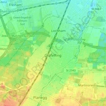
Name: Gräfelfing topographic map, elevation, terrain.
Location: Gräfelfing, Landkreis München, Baviera, 82166, Germania (48.10676 11.39996 48.13756 11.46567)
Average elevation: 543 m
Minimum elevation: 526 m
Maximum elevation: 564 m
Thank you for supporting this site ❤️
Make a donation
Make a donation