
Orlando topographic map
Interactive map
Click on the map to display elevation.
About this map
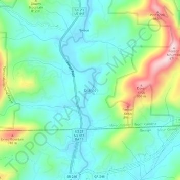
Name: Orlando topographic map, elevation, terrain.
Location: Orlando, Macon County, North Carolina, 30537, United States (34.98342 -83.39932 35.02342 -83.35932)
Average elevation: 725 m
Minimum elevation: 630 m
Maximum elevation: 975 m