
Kastaven topographic map
Interactive map
Click on the map to display elevation.
About this map
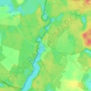
Name: Kastaven topographic map, elevation, terrain.
Location: Kastaven, Retzow, Lychen, Uckermark, Brandenburg, Deutschland (53.21595 13.22672 53.25595 13.26672)
Average elevation: 73 m
Minimum elevation: 54 m
Maximum elevation: 98 m