
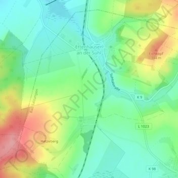
Ettenhausen a.d. Suhl topographic map
Interactive map
Click on the map to display elevation.
About this map
Name: Ettenhausen a.d. Suhl topographic map, elevation, terrain.
Average elevation: 296 m
Minimum elevation: 256 m
Maximum elevation: 367 m
Höchster Punkt der Gemarkung ist der Hetzeberg (359,9 m ü. NN). Bemerkenswert sind auch die Berge und Hügel Sandberg (346,9 m ü. NN) und die Margarethenhöhe (307,7 m ü. NN).