
Thank you for supporting this site ❤️
Make a donation
Make a donation
Mount Evelyn topographic map
Click on the map to display elevation.
Thank you for supporting this site ❤️
Make a donation
Make a donation
About this map
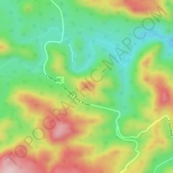
Name: Mount Evelyn topographic map, elevation, terrain.
Location: Mount Evelyn, Larimer County, Colorado, United States (40.89466 -105.46254 40.89476 -105.46244)
Average elevation: 2,206 m
Minimum elevation: 2,087 m
Maximum elevation: 2,365 m
Thank you for supporting this site ❤️
Make a donation
Make a donation